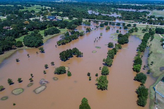
America Counts: Stories Behind the Numbers The Challenge of Mapping Disaster Areas During a National Emergency For the first time in history, all 50 states were declared federal disaster areas due to COVID-19. At the same time, hurricanes, floods, wildfires and winter storms continued to hit communities already dealing with the pandemic. Communities were overwhelmed and so was the U.S. Census Bureau's award-winning OnTheMap for Emergency Management data tool. As each state becomes a disaster or emergency declaration area, real-time data on hurricanes, floods, wildfires, and winter storms were updated but drowned out by the nationwide swath of COVID-19 disaster areas. In order to show national weather events, we had to redesign the OnTheMap for Emergency Management tool. Continue reading to learn more about: - Helping to guide emergency management
- The 2020 hurricane and wildfire seasons
- FEMA disaster response resources
| 


No comments:
Post a Comment